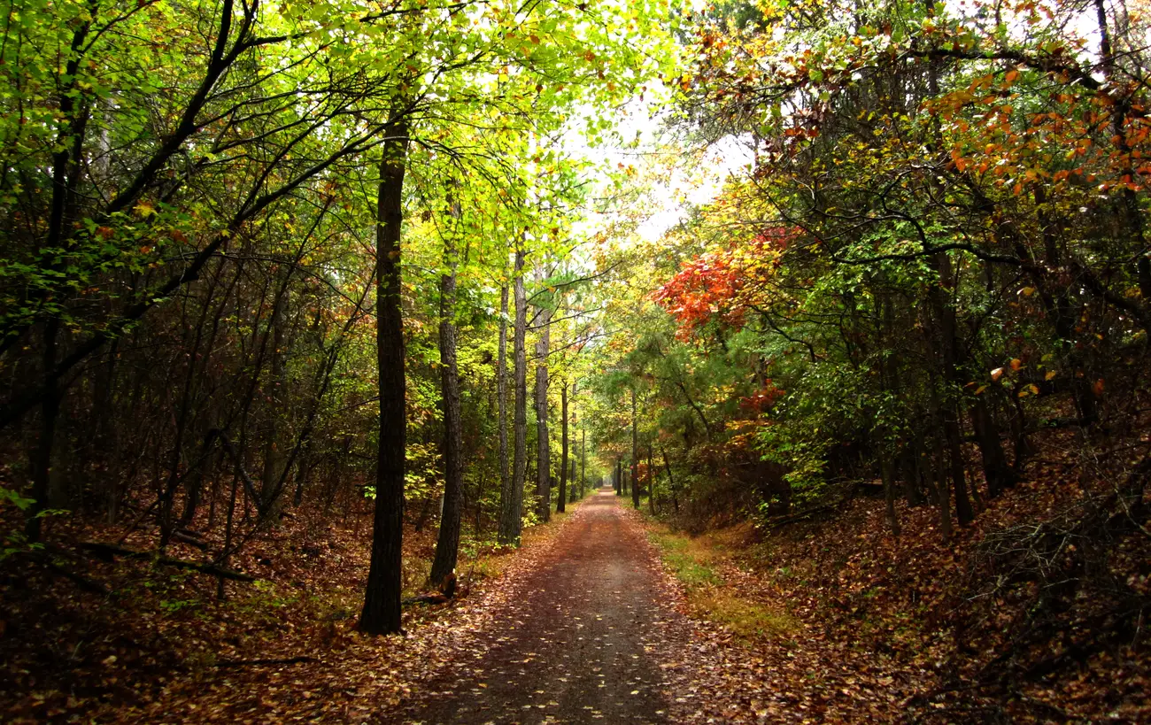
The 5-mile South Campus Rail Trail, 20-plus miles of single track, city walking tracks at mTrade, Garden Terrace and Woodlawn, and the Clear Creek loops.
Last checked Oct. 12, 2026. Distances come from Ole Miss Campus Recreation, the Oxford Park Commission, the University of Mississippi Museum’s historic houses page, the city’s bike and pedestrian map (PDF) and Visit Oxford’s biking page.
Oxford’s longest trail is the South Campus Rail Trail, a gravel path on the old Mississippi Central Railroad bed on the south side of the Ole Miss campus. It doubles as the hub for more than 20 miles of single-track mountain bike trails. In town, the Oxford Park Commission keeps three paved or marked walking loops, and the city’s Pathways Commission maps the bike lanes and sidewalks that connect them.
At a glance
- Longest: South Campus Rail Trail, 5 miles round trip
- Mountain biking: 20-plus miles of single track off the rail trail; Clear Creek at Sardis Lake
- Paved loops: mTrade Park (just over a mile), Garden Terrace (a half mile)
- Closed for now: Bailey Woods Trail, for bridge repairs
- Contacts: Ole Miss Outdoors, 662-915-6735; Oxford Park Commission, 662-232-2380
Trails at a glance
| Trail | Length | Surface | Where to start | Run by |
|---|---|---|---|---|
| South Campus Rail Trail | 5 miles round trip, half-mile markers | Gravel rail bed | End of Chucky Mullins Drive and Front Street, south of Highway 6 | Ole Miss |
| Single-track off the rail trail | More than 20 miles | Dirt | From the rail trail | Oxford Cycling (club) |
| mTrade Park walking track | Just over a mile | Track around the complex | 4259 Old Sardis Road | Oxford Park Commission |
| Garden Terrace Park | Half a mile, 10 feet wide | Asphalt | Off Thacker Road, west side; 32 parking spaces | Oxford Park Commission |
| Woodlawn Park | 1,700 feet | Walking track | Nine parking spaces, one accessible | Oxford Park Commission |
| Lamar Park | Not published | Garden paths | College Hill Road at Country Club Road | City of Oxford |
| Bailey Woods Trail | About 3,000 feet, about 20 minutes | Wooded path, no bikes | University Museum or Rowan Oak | Ole Miss (closed for repairs) |
| Clear Creek Trail | 3-, 8- and 13-mile loops | Mountain bike single track | Near Clear Creek Landing, Sardis Lake | U.S. Army Corps of Engineers land |
South Campus Rail Trail
The rail trail runs just south of Highway 6 and just west of Chucky Mullins Drive. The marked trail is 2.5 miles out and 2.5 miles back, with a marker every half mile, Ole Miss Campus Recreation says. Visit Oxford says the trail was once called the Whirlpool Trails, or the Thacker Mountain Rail Trail, and that riders reach it from the rail bed at the end of Chucky Mullins Drive and Front Street.
The local bike club, Oxford Cycling, maintains the single-track trails that branch off the rail bed. The city map also marks the Taylor mountain bike and hiking trails south of town.
Rentals: Ole Miss Outdoors, in the South Campus Recreation Center, rents mountain bikes, camping gear, canoes and kayaks to the public as well as to students; non-students set up a “Local Account” on its rental portal. Call 662-915-6735.
City walking loops
- mTrade Park, 4259 Old Sardis Road. The Wayne and Shirley Perkins Family walking track circles the 75-plus-acre sports complex and is just over a mile long.
- Garden Terrace Park, just off Thacker Road on the west side of town. A half-mile asphalt trail, 10 feet wide, with fruit trees planted in 2016.
- Woodlawn Park. A 1,700-foot walking track with benches, picnic tables and a dog waste station.
- Avent Park, 120 Park Drive, and Bailey Branch Park at FNC, 1215 Office Park Drive, both have shorter walking paths.
- Lamar Park. The city’s arboretum has walking trails around a lake. Dogs must be leashed, and the park closes at dusk.
- Indoors: the Coach Howell Activity Center, 396 Price St., has an upstairs walking track, open 8 a.m. to 8 p.m. Monday through Thursday, 8 a.m. to 6 p.m. Friday, 10 a.m. to 4 p.m. Saturday and 1 to 5 p.m. Sunday.
Bailey Woods Trail
Bailey Woods, a National Recreation Trail, links Rowan Oak, William Faulkner’s home, to the University Museum along a wooded path of about 3,000 feet. It opened in 2008 and does not allow bicycles. Ole Miss says it is temporarily closed while bridge repairs are underway. When it reopens, the grounds and trail are open dawn to dusk and free, and there is a bike rack beside the museum’s side entrance.
Clear Creek
The Clear Creek Trail is about a 30-minute drive from Oxford, near Clear Creek Landing at Sardis Lake. Riders can do the full 13-mile loop, a 3-mile beginner loop or an 8-mile beginner and intermediate loop, according to Visit Oxford, which says Mountain Bike Magazine once named it the best trail in Mississippi.
Riding in town
The city’s Pathways Commission works on an interconnected grid of bike lanes, sidewalks and multi-use paths. It meets the fourth Monday of the month at 5 p.m. at City Hall, its page says. The Bike and Pedestrian Map (PDF) shows routes in town and regional routes in Lafayette County. The map says:
- Front lights and rear reflectors are required after dusk.
- Helmets are strongly encouraged.
- Its routes are advisory; the city has not done a separate safety review of them.
Bike shops, from Visit Oxford: Oxford Bicycle Company, 407 Jackson Ave. East, 662-236-6507, and Core Cycle + Outdoor, 902 Sisk Ave., 662-238-0155.
What this means for you
- A long walk or run: the rail trail, with a marker every half mile.
- A paved loop with a stroller: Garden Terrace or the mTrade track.
- Skip Bailey Woods until Ole Miss says the bridges are fixed.
- Riding after dark: lights and reflectors.
Related: parks and trails, dog-friendly Oxford, kids’ activities and getting around Oxford.
Frequently asked questions
How long is the South Campus Rail Trail in Oxford?
The marked rail-bed trail is 5 miles round trip, 2.5 miles out and 2.5 miles back, with mile markers every half mile, according to Ole Miss Campus Recreation. More than 20 miles of single-track bike trails connect to it.
Where does the South Campus Rail Trail start?
The gravel rail bed runs just south of Highway 6 and just west of Chucky Mullins Drive. Visit Oxford says access is from the rail bed at the end of Chucky Mullins Drive and Front Street.
Is Bailey Woods Trail open?
Not right now. Ole Miss says the trail between Rowan Oak and the University Museum is temporarily closed while bridge repairs are underway.
Where can I walk a paved loop in Oxford?
The Oxford Park Commission’s walking track at mTrade Park is just over a mile, Garden Terrace Park off Thacker Road has a half-mile paved trail, and Woodlawn Park has a 1,700-foot track.
Do I need lights to ride a bike at night in Oxford?
The city’s bike and pedestrian map says front lights and rear reflectors are required after dusk, and it strongly encourages helmets.
Have your say