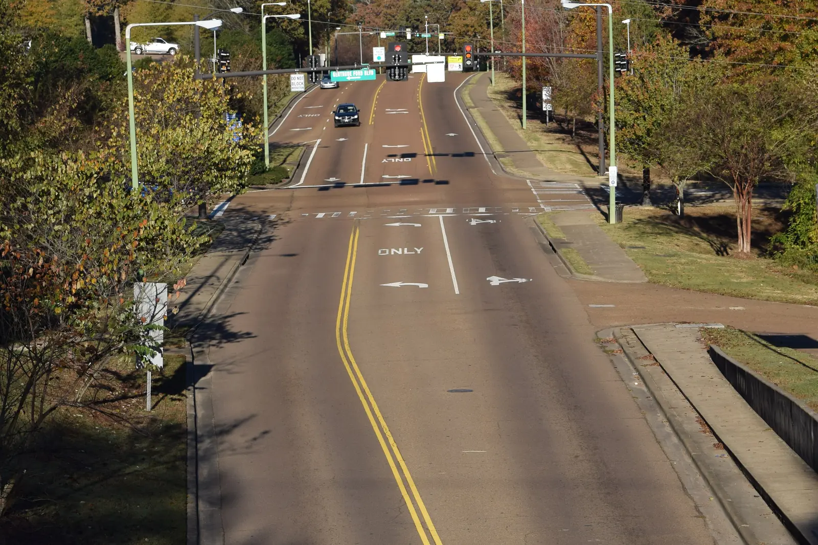
Jackson Avenue West is Oxford's west-side corridor from the Ole Miss campus to Highway 6, with Walmart, three city parks and OUT's Blue West bus. ZIP 38655.
Last checked Oct. 16, 2026. Sources: the City of Oxford’s Vision 2037 Comprehensive Plan (PDF) and city limits map layer, the Census Bureau’s school district boundaries, the Mississippi Department of Education’s report card, Zillow Research, Oxford-University Transit, the Oxford Park Commission and OpenStreetMap.
Jackson Avenue West is the main road through Oxford’s west side, running from the edge of the Ole Miss campus out to Highway 6. The city’s Vision 2037 plan treats it as a suburban corridor, with shopping centers along it, and the apartment complexes, subdivisions and city parks of the west side are reached from it. This page covers the corridor and the streets off it inside the city.
What this means for you
- Schools: the Oxford School District along the corridor, which assigns by grade: every student goes to Oxford High for grades 9 to 12. Some northwest parts of the city are in the county district; check an address.
- Home value: $417,122 in ZIP code 38655 in August 2026, according to the Zillow Home Value Index.
- Nearest Highway 6 interchange: West Jackson Avenue, at the west end of the corridor.
Part of our Oxford neighborhoods guide.
Where it is
On OpenStreetMap, Jackson Avenue becomes West Jackson Avenue at the Oxford Depot Trail bridge, passes the north side of the Ole Miss campus and runs west as Jackson Avenue West to an interchange with Highway 6, which carries U.S. 278 west toward Batesville. The corridor lies inside the city limits all the way to that interchange. It is in ZIP code 38655. On the city’s current ward map it crosses Wards 5 and 6.
The Vision 2037 plan uses a strip shopping center on the West Jackson corridor as its worked example of a suburban corridor, with drawings for partial and full redevelopment. It names West Jackson among the city’s congested routes. It also lists two large apartment projects on this side of town: The Retreat at Oxford on Anderson Road, 268 units, and The Links, 216 units, which was under construction when the plan was written. OpenStreetMap names The Links, The Retreat at Oxford and Wellsgate as residential areas here, and Meadowview as a place inside the city limits. The city’s interactive zoning map shows the zone for a single lot.
Schools
The Census Bureau’s school district map puts every part of Jackson Avenue West inside the city in the Oxford School District. The same map shows that most of the city’s land outside the Oxford district is on the northwest side, where the Lafayette County School District takes over, so a street a few blocks off the corridor can be in a different district. The Oxford district groups schools by grade. Grades are from the state’s 2024-25 report card:
| School | Grades | State grade, 2024-25 |
|---|---|---|
| Oxford Early Childhood Center, 1637 Highway 30 East | Pre-K | A |
| Bramlett Elementary, 225 Bramlett Blvd. | K-1 | A |
| Della Davidson Elementary, 209 Commonwealth Blvd. | 2-3 | A |
| Central Elementary, 409 Washington Ave. | 4-5 | A |
| Oxford Intermediate, 501 Martin Luther King Jr. Drive | 6 | B |
| Oxford Middle, 224 Bramlett Blvd. | 7-8 | A |
| Oxford High, 101 Charger Loop | 9-12 | A |
The Lafayette County district also rated A for 2024-25. Confirm a specific property with the Lafayette County Tax Assessor, 662-234-5562, as the Oxford district asks. Both districts are in our schools guide.
Home values
Zillow does not publish a figure for the west side. Its index for ZIP code 38655 was $417,122 in August 2026, up 3.3% from $403,970 in August 2025, according to the Zillow Home Value Index. The city’s figure was $416,262. The index is a modeled typical value for homes in the middle of the market, not a sale price. See our home prices guide.
Parks and trails
From the Oxford Park Commission:
- Price Hill Park, Price Hill Road, about a third of a mile north of the corridor: ball field, pavilion, playground, spray pool and basketball court
- Woodlawn Park, north of the corridor’s west end near Woodlawn Drive: a 1,700-foot walking track, picnic tables and a Little Free Library
- Garden Terrace Park, off Thacker Road on the west side: a half-mile, 10-foot-wide paved walking trail and fruit trees
- Lamar Park, the city’s arboretum with walking trails, gardens and a lake, about half a mile north; dogs on a leash, closed at dusk, per the city’s Lamar Park page
More in parks and trails.
Getting around
- Highway 6 (U.S. 278): the interchange at West Jackson Avenue is at the west end of the corridor, per OpenStreetMap.
- The Square: about 3.3 miles by road from Walmart, measured on the OpenStreetMap road network.
- Memphis International Airport: about 75 miles by road on the same network. Both are distances, not drive times.
- Buses: OUT’s Blue West route runs weekdays every 30 minutes from the downtown parking garage out Jackson Avenue, with stops at Price Hill, Highland Court, the West Oxford Loop, Walmart and CVS. The Orange route serves The Links, Shadow Creek, Garden Terrace Park and Walmart, according to OUT’s route page. Rides are free.
Groceries and everyday stores
From OpenStreetMap:
- Walmart Supercenter and its pharmacy, 2530 Jackson Ave. W.
- CVS Pharmacy, 1912 Jackson Ave. W.
Trash pickup
Inside the city limits, garbage is collected twice a week. Look up an address on the city’s garbage route map; holiday changes are in our trash and recycling guide.
Frequently asked questions
What parks are near Jackson Avenue West in Oxford?
Price Hill Park on Price Hill Road has a ball field, playground, basketball court and spray pool. Woodlawn Park has a 1,700-foot walking track, and Garden Terrace Park, off Thacker Road, has a half-mile paved trail.
What schools serve the west side of Oxford?
Inside the city, Jackson Avenue West is in the Oxford School District, which assigns schools by grade, not by neighborhood. Parts of the city’s northwest side are in the Lafayette County School District, so check a specific address with the Tax Assessor.
Is there a bus on Jackson Avenue West?
Yes. OUT’s Blue West route runs weekdays every 30 minutes from the downtown parking garage out Jackson Avenue to the West Oxford Loop, Walmart and CVS. Rides are free.
What is the typical home value on Oxford’s west side?
Zillow does not split Oxford by neighborhood. Its index for ZIP code 38655 was $417,122 in August 2026, up 3.3% in a year. It is a modeled typical value, not a sale price.
Have your say